Aera
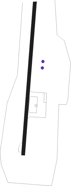
Airport details
| Country | Norway |
| State | Hedmark |
| Region | EN |
| Airspace | Polaris Ctr |
| Municipality | Åmot |
| Elevation | 1620ft (494m) |
| Timezone | GMT +1 |
| Coordinates | 61.25833, 11.67000 |
| Magnetic var | |
| Type | land |
| Available since | X-Plane v10.30 |
| ICAO code | XEN01 |
| IATA code | n/a |
| FAA code | n/a |
Communication
| Aera Aera Traffic | 121.350 |
Nearby Points of Interest:
Nordre Osen Church
-Steinvik Station
Nearby beacons
| code | identifier | dist | bearing | frequency |
|---|---|---|---|---|
| HAA | HAMAR NDB | 31.7 | 234° | 371 |
| BLA | DME | 36.2 | 174° | 115.20 |
| NLK | DME | 51.1 | 221° | 115.60 |
| ERB | DME | 58.7 | 187° | 116.25 |
Disclaimer
The information on this website is not for real aviation. Use this data with the X-Plane flight simulator only! Data taken with kind consent from X-Plane 12 source code and data files. Content is subject to change without notice.