Djambala
Airport details
| Country | Congo |
| State | Plateaux Department |
| Region | |
| Airspace | Brazzaville Ctr |
| Municipality | Djambala |
| Elevation | 2615ft (797m) |
| Timezone | GMT +1 |
| Coordinates | -2.52200, 14.75100 |
| Magnetic var | |
| Type | land |
| ICAO code | XFC0004 |
| IATA code | DJM |
| FAA code | n/a |
Communication
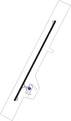
Runway info
| Runway 02 / 20 | ||
| length | 2060m (6759ft) | |
| bearing | 32° / 212° | |
| width | 30m (100ft) | |
| surface | asphalt | |
| blast zone | 58m (190ft) / 58m (190ft) | |
Disclaimer
The information on this website is not for real aviation. Use this data with the X-Plane flight simulator only! Data taken with kind consent from X-Plane 12 source code and data files. Content is subject to change without notice.