Utopia - Rancho Sabino Grande
Airport details
| Country | United States of America |
| State | Texas |
| Region | |
| Airspace | Houston Oceanic Ctr |
| Municipality | Uvalde County |
| Elevation | 1287ft (392m) |
| Timezone | GMT -6 |
| Coordinates | 29.55049, -99.51623 |
| Magnetic var | |
| Type | land |
| Available since | X-Plane v10.40 |
| ICAO code | XK0083 |
| IATA code | n/a |
| FAA code | n/a |
Communication
| Rancho Sabino Grande CTAF | 131.450 |
Nearby Points of Interest:
Uvalde Downtown Historic District
-State Highway 3 Bridge at the Nueces River
-Old Camp Verde
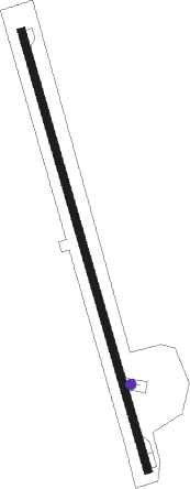
Runway info
| Runway 16 / 34 | ||
| length | 1833m (6014ft) | |
| bearing | 167° / 347° | |
| width | 30m (100ft) | |
| surface | asphalt | |
Nearby beacons
| code | identifier | dist | bearing | frequency |
|---|---|---|---|---|
| CSI | CENTER POINT (KERRVILLE) VORTAC | 27.3 | 39° | 117.50 |
| HHH | DEVINE NDB | 39 | 126° | 359 |
| CPZ | CHAPARROSA RANCH NDB | 47.5 | 215° | 385 |
| RSG | ROCKSPRINGS VORTAC | 49.4 | 301° | 114.55 |
| AN | ALAMO (SAN ANTONIO) NDB | 49.5 | 87° | 368 |
| KSY | KELLY (SAN ANTONIO) TACAN | 49.8 | 100° | 112 |
| PFO | SPOFFORD NDB | 53.5 | 246° | 356 |
| STV | STONEWALL VORTAC | 57.7 | 51° | 113.80 |
Disclaimer
The information on this website is not for real aviation. Use this data with the X-Plane flight simulator only! Data taken with kind consent from X-Plane 12 source code and data files. Content is subject to change without notice.