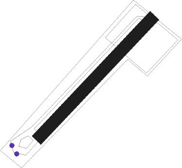
Martigny -les-bains - Chateau D'eau
Airport details
| Country | France |
| State | Grand Est |
| Region | LF |
| Airspace | Reims Ctr |
| Municipality | Martigny-les-Bains |
| Elevation | 0ft (0m) |
| Timezone | GMT +1 |
| Coordinates | 48.10621, 5.83599 |
| Magnetic var | |
| Type | land |
| Available since | X-Plane v11.40 |
| ICAO code | XLF0015 |
| IATA code | n/a |
| FAA code | n/a |
Communication
Runway info
| Runway 04 / 22 | ||
| length | 260m (853ft) | |
| bearing | 59° / 239° | |
| width | 20m (66ft) | |
| surface | grass | |
| displ threshold | 4m (13ft) / 8m (26ft) | |
Nearby beacons
| code | identifier | dist | bearing | frequency |
|---|---|---|---|---|
| EPL | EPINAL MIRECOURT VOR | 15.5 | 47° | 113 |
| EMT | EPINAL NDB | 19.7 | 58° | 419 |
| RLP | ROLAMPONT VOR/DME | 26.4 | 251° | 117.30 |
| LXI | LUXEUIL SAINT SAUVEUR TACAN | 28.5 | 122° | 108.20 |
| NAY | NANCY OCHEY TACAN | 29 | 14° | 116.80 |
| LUL | LUXEUIL VOR | 31.1 | 132° | 117.10 |
| HR | HERICOURT NDB | 48.7 | 121° | 289 |
| SDI | SAINT DIZIER ROBINSON TACAN | 49.4 | 299° | 114 |
| BSV | BESANCON NDB | 52.5 | 156° | 370 |
| LOU | LORRAINE NDB | 56.3 | 26° | 388 |
| DJL | DIJON LONGVIC VOR/DME | 58.3 | 221° | 111.45 |
| GTQ | GROSTENQUIN VOR/DME | 63.3 | 45° | 111.25 |
Disclaimer
The information on this website is not for real aviation. Use this data with the X-Plane flight simulator only! Data taken with kind consent from X-Plane 12 source code and data files. Content is subject to change without notice.
