Wanaka - Neils Beach
Airport details
| Country | New Zealand |
| State | West Coast |
| Region | |
| Municipality | Westland District |
| Elevation | 19ft (6m) |
| Timezone | GMT +13 |
| Coordinates | -43.99643, 168.65967 |
| Magnetic var | |
| Type | land |
| Available since | X-Plane v10.40 |
| ICAO code | XNZNB |
| IATA code | n/a |
| FAA code | n/a |
Communication
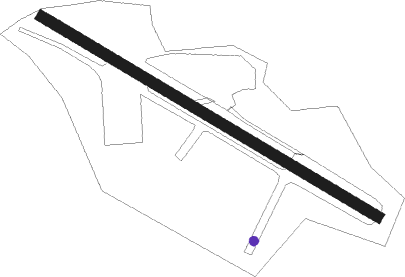
Runway info
| Runway 14 / 32 | ||
| length | 430m (1411ft) | |
| bearing | 117° / 297° | |
| width | 12m (39ft) | |
| surface | asphalt | |
Nearby beacons
| code | identifier | dist | bearing | frequency |
|---|---|---|---|---|
| QN | QUEENSTOWN VOR/DME | 59.5 | 173° | 113.60 |
Disclaimer
The information on this website is not for real aviation. Use this data with the X-Plane flight simulator only! Data taken with kind consent from X-Plane 12 source code and data files. Content is subject to change without notice.