Al Qaffay Island
Airport details
| Country | United Arab Emirates |
| State | Abu Dhabi Emirate |
| Region | |
| Airspace | Bahrain Ctr |
| Municipality | Qaffay Island |
| Elevation | 5ft (2m) |
| Timezone | GMT +4 |
| Coordinates | 24.59757, 51.72522 |
| Magnetic var | |
| Type | land |
| Available since | X-Plane v10.30 |
| ICAO code | XOMFP |
| IATA code | n/a |
| FAA code | n/a |
Communication
Nearby Points of Interest:
Khawr al Udayd
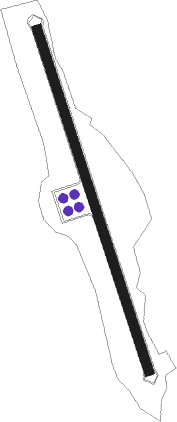
Runway info
| Runway 16 / 34 | ||
| length | 1777m (5830ft) | |
| bearing | 165° / 345° | |
| width | 46m (151ft) | |
| surface | concrete | |
Nearby beacons
| code | identifier | dist | bearing | frequency |
|---|---|---|---|---|
| BAT | BATHA VOR/DME | 27.3 | 216° | 113.40 |
| WK | DOHA INTL NDB | 35.7 | 348° | 323 |
| ALD | AL UDEID VORTAC | 36.8 | 321° | 115.20 |
| DIA | DOHA INTL VOR/DME | 39 | 347° | 112.40 |
| DOH | DOHA/HAMAD INTL VOR/DME | 39.6 | 350° | 114.40 |
| JD | JEBEL DHANA NDB | 54.8 | 114° | 302 |
Disclaimer
The information on this website is not for real aviation. Use this data with the X-Plane flight simulator only! Data taken with kind consent from X-Plane 12 source code and data files. Content is subject to change without notice.