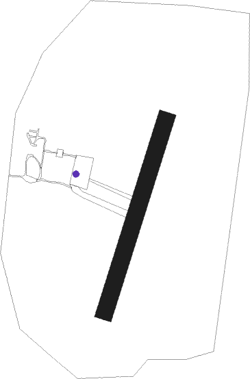
Nev`yansk - Byn'gi
Airport details
| Country | Russian Federation |
| State | Sverdlovsk Oblast |
| Region | |
| Airspace | Yekaterinburg Ctr |
| Municipality | Nevyansky District |
| Elevation | 853ft (260m) |
| Timezone | GMT +5 |
| Coordinates | 57.57781, 60.20635 |
| Magnetic var | |
| Type | land |
| Available since | X-Plane v10.40 |
| ICAO code | XU001S |
| IATA code | n/a |
| FAA code | n/a |
Communication
| Byn'gi Tower (Reyka) | 119.500 |
Nearby Points of Interest:
Holy Trinity
-Nevyansk Mechanical Plant
-Skorbyashchensky Monastery in Nizhny Tagil
-Nizhny Tagil iron and steel plant
-Provision warehouses (Nizhny Tagil)
Nearby beacons
| code | identifier | dist | bearing | frequency |
|---|---|---|---|---|
| EKB | KOLTSOVO (YEKATERINBURG) VOR/DME | 53.6 | 145° | 113.20 |
| U | KOLTSOVO (YEKATERINBURG) NDB | 54.1 | 143° | 749 |
| D | KOLTSOVO (YEKATERINBURG) NDB | 54.4 | 143° | 388 |
Disclaimer
The information on this website is not for real aviation. Use this data with the X-Plane flight simulator only! Data taken with kind consent from X-Plane 12 source code and data files. Content is subject to change without notice.