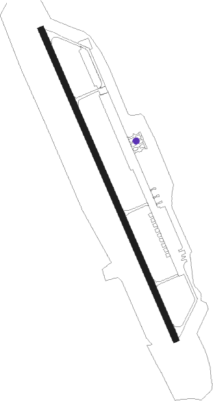
Machulishchy - Machulishshy
Airport details
| Country | Belarus |
| State | Minsk Region |
| Region | |
| Airspace | Minsk Ctr |
| Municipality | Machulishchy |
| Elevation | 699ft (213m) |
| Timezone | GMT +3 |
| Coordinates | 53.78611, 27.57003 |
| Magnetic var | |
| Type | land |
| Available since | X-Plane v10.40 |
| ICAO code | XUM0007 |
| IATA code | n/a |
| FAA code | n/a |
Communication
Nearby Points of Interest:
Minsk-1 Airport
-Dabramyslienski Lane 3, Minsk
-Uĺjanaŭskaja Street 29, Minsk
-Pierec House
-Kastravickaja House
-Janicki House
-Crowne Plaza, Minsk
-Poliakaŭ House
-Miasnikova Street 74, Minsk
-Karla Marksa Street 5, Minsk
-Main Post Office, Minsk
-Government House of Belarus
-Karla Marksa Street 12, Minsk
-Kirava Street 19, Minsk
-Kirava Street, Minsk
-Karla Marksa Street 14, Minsk
-Volin House
Nearby beacons
| code | identifier | dist | bearing | frequency |
|---|---|---|---|---|
| KTZ | DME | 12.8 | 294° | 115.45 |
| MNS | MINSK-2 VOR/DME | 17 | 78° | 113.60 |
| ZVD | DME | 24.2 | 112° | 115.05 |
| DSK | DME | 27.7 | 349° | 114.25 |
Disclaimer
The information on this website is not for real aviation. Use this data with the X-Plane flight simulator only! Data taken with kind consent from X-Plane 12 source code and data files. Content is subject to change without notice.