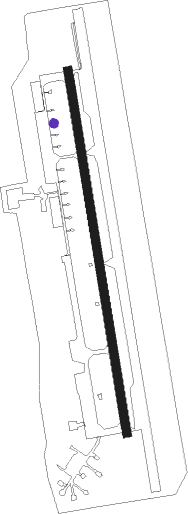
Zhangjiawan - Beijing Tongzhou
Airport details
| Country | China |
| State | Beijing |
| Region | |
| Airspace | Beijing Ctr |
| Municipality | Tongzhou District |
| Elevation | 62ft (19m) |
| Timezone | GMT +8 |
| Coordinates | 39.82141, 116.70617 |
| Magnetic var | |
| Type | land |
| Available since | X-Plane v11.40 |
| ICAO code | XZ0006 |
| IATA code | n/a |
| FAA code | n/a |
Communication
| Beijing TongZhou Tongzhou Tower | 130.000 |
Nearby beacons
| code | identifier | dist | bearing | frequency |
|---|---|---|---|---|
| WF | XILIUHETUN NDB | 10.7 | 54° | 395 |
| QU | BEIJING CAPITAL NDB | 11.2 | 331° | 240 |
| PEK | GUANZHUANG VOR/DME | 13.6 | 7° | 114.70 |
| DK | BEIJING CAPITAL NDB | 14.1 | 330° | 354 |
| OR | BEIJING CAPITAL NDB | 18.8 | 339° | 196 |
| SZY | SHAZIYING VOR/DME | 21.3 | 316° | 117.20 |
| CU | SHAHE NDB | 23.7 | 312° | 555 |
| DXG | DAXING VOR/DME | 25.3 | 222° | 115.35 |
| JR | LIANGXIANG NDB | 28.8 | 261° | 475 |
| OB | HUAIROU NDB | 29.1 | 340° | 380 |
| HUR | HUAIROU VOR/DME | 30.6 | 5° | 113.60 |
| VM | SHIGEZHUANG NDB | 32.7 | 160° | 280 |
| VYK | DAWANGZHUANG VOR/DME | 38.1 | 192° | 112.70 |
| CD | QINGBAIKOU NDB | 43 | 282° | 422 |
| CDY | CHEDAOYU NDB | 51.2 | 34° | 292 |
| TAJ | TIANJIN VOR/DME | 52.2 | 138° | 112.10 |
| JB | ZANGANGZHEN NDB | 52.3 | 213° | 403 |
| CG | TIANJIN NDB | 54.2 | 138° | 339 |
| YV | TANGHEKOU NDB | 54.8 | 355° | 514 |
| TJK | DONGLIHU VOR/DME | 54.9 | 129° | 113.40 |
Disclaimer
The information on this website is not for real aviation. Use this data with the X-Plane flight simulator only! Data taken with kind consent from X-Plane 12 source code and data files. Content is subject to change without notice.
