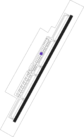
Wuhan - Hannan
Airport details
| Country | China |
| State | Hubei |
| Region | |
| Airspace | Wuhan Ctr |
| Municipality | Wuhan |
| Elevation | 78ft (24m) |
| Timezone | GMT +8 |
| Coordinates | 30.24435, 114.05266 |
| Magnetic var | |
| Type | land |
| Available since | X-Plane v10.40 |
| ICAO code | XZ001H |
| IATA code | n/a |
| FAA code | n/a |
Communication
Nearby Points of Interest:
Baotong Temple
-Consulate General of the United States, Wuhan
-Dazhimen railway station
Nearby beacons
| code | identifier | dist | bearing | frequency |
|---|---|---|---|---|
| DCD | CAIDIAN VOR/DME | 12.9 | 28° | 114.25 |
| DHB | HEBAOHU VOR/DME | 27.5 | 350° | 114.45 |
| LKO | LONGKOU VOR/DME | 27.6 | 227° | 115.80 |
| WHA | TIANHE VOR/DME | 33.1 | 16° | 112.20 |
| DHP | HUANGPI VOR/DME | 43.3 | 34° | 113.75 |
| HG | TIANHE NDB | 43.7 | 24° | 254 |
| WTM | TIANMEN VOR/DME | 52.6 | 293° | 108.80 |
Disclaimer
The information on this website is not for real aviation. Use this data with the X-Plane flight simulator only! Data taken with kind consent from X-Plane 12 source code and data files. Content is subject to change without notice.