Shijiazhuang - Luancheng General
Airport details
| Country | China |
| State | Hebei |
| Region | |
| Airspace | Beijing Ctr |
| Municipality | Luancheng |
| Elevation | 184ft (56m) |
| Timezone | GMT +8 |
| Coordinates | 37.91583, 114.59232 |
| Magnetic var | |
| Type | land |
| Available since | X-Plane v10.40 |
| ICAO code | XZ001O |
| IATA code | LCT |
| FAA code | n/a |
Communication
| Luancheng General LUANCHENG TOWER | 122.100 |
Nearby Points of Interest:
Pagoda of Bailin Temple
-Kaiyuan Temple (Zhengding)
-Stele of the Ode to the Feat of the Prince Qinghe
-Zhengding Prefectural Temple of Literature
-Zhengding Town
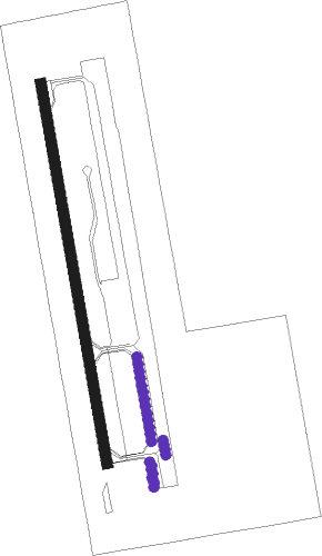
Runway info
| Runway 18 / 36 | ||
| length | 1201m (3940ft) | |
| bearing | 173° / 353° | |
| width | 35m (115ft) | |
| surface | concrete | |
| blast zone | 50m (164ft) / 150m (492ft) | |
Nearby beacons
| code | identifier | dist | bearing | frequency |
|---|---|---|---|---|
| F | ZHENGDING (SHIJIAZHUANG) NDB | 21.4 | 19° | 377 |
| SJW | ZHENGDING VOR/DME | 22.4 | 16° | 117.70 |
| O | ZHENGDING (SHIJIAZHUANG) NDB | 23.5 | 13° | 528 |
| FL | WUJI NDB | 24.3 | 42° | 272 |
| OC | XINGTANG NDB | 32.4 | 356° | 235 |
Disclaimer
The information on this website is not for real aviation. Use this data with the X-Plane flight simulator only! Data taken with kind consent from X-Plane 12 source code and data files. Content is subject to change without notice.