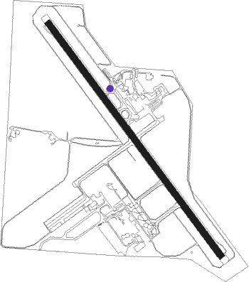
Mackay
Airport details
| Country | Australia |
| State | Queensland |
| Region | YB |
| Airspace | Brisbane Ctr |
| Municipality | Mackay |
| Elevation | 18ft (5m) |
| Timezone | GMT +10 |
| Coordinates | -21.16797, 149.18489 |
| Magnetic var | |
| Type | land |
| Available since | X-Plane v10.32 |
| ICAO code | YBMK |
| IATA code | MKY |
| FAA code | n/a |
Communication
Nearby Points of Interest:
World War I Cenotaph, Mackay
-East Gordon Street Sewerage Works
-Mackay Town Hall
-Mackay Customs House
-Mackay General Cemetery
-Flat Top Island Light
-Mango Avenue, Eimeo
-The Leap Cane Lift
-Lt Thomas Armstrong Memorial
-Koumala War Memorial
-Finch Hatton railway station
Nearby beacons
| code | identifier | dist | bearing | frequency |
|---|---|---|---|---|
| MK | MACKAY NDB | 0.3 | 13° | 308 |
| HM | HAMILTON I VOR/DME | 50.7 | 344° | 114.40 |
| PN | PROSERPINE VOR/DME | 53.6 | 317° | 113.70 |
Departure and arrival routes
| Transition altitude | 10000ft |
| Transition level | 11000ft |
| SID end points | distance | outbound heading | |
|---|---|---|---|
| RW14 | |||
| POONA2 | 21mi | 163° | |
| CLIFT2 | 53mi | 308° | |
| RW32 | |||
| POONA2 | 21mi | 163° | |
| CLIFT2 | 53mi | 308° | |
| STAR starting points | distance | inbound heading | |
|---|---|---|---|
| RW14 | |||
| DAGSI1 | 35.7 | 140° | |
| WELKE1 | 36.3 | 318° | |
| RW32 | |||
| DAGSI1 | 35.7 | 140° | |
| WELKE1 | 36.3 | 318° | |
Instrument approach procedures
| runway | airway (heading) | route (dist, bearing) |
|---|---|---|
| RW14-Z | BMKNA (125°) | BMKNA 4700ft BMKNI (5mi, 78°) 3340ft |
| RW14-Z | LEDUS (145°) | LEDUS 4700ft BMKNI (5mi, 146°) 3340ft |
| RW14-Z | LUMVA (169°) | LUMVA 4700ft BMKNI (5mi, 239°) 3340ft |
| RNAV | BMKNI 3340ft BMKNF (5mi, 146°) 1750ft BMKNM (5mi, 146°) 153ft BMKNH (3mi, 146°) (8601mi, 278°) 2500ft | |
| RW32-Z | BAVAM (327°) | BAVAM 4700ft BMKSI (5mi, 326°) 3330ft |
| RW32-Z | BMKSJ (348°) | BMKSJ 4700ft BMKSI (5mi, 39°) 3330ft |
| RW32-Z | BURNO (306°) | BURNO 4700ft BMKSI (5mi, 258°) 3330ft |
| RNAV | BMKSI 3330ft BMKSF (5mi, 326°) 1740ft BMKSM (5mi, 326°) 150ft BMKST (4mi, 326°) (8601mi, 278°) 2500ft |
Disclaimer
The information on this website is not for real aviation. Use this data with the X-Plane flight simulator only! Data taken with kind consent from X-Plane 12 source code and data files. Content is subject to change without notice.