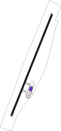
Barrow Island
Airport details
| Country | Australia |
| State | Western Australia |
| Region | YM |
| Airspace | Melbourne Ctr |
| Municipality | Shire Of Ashburton |
| Elevation | 20ft (6m) |
| Timezone | GMT +8 |
| Coordinates | -20.86444, 115.40611 |
| Magnetic var | |
| Type | land |
| Available since | X-Plane v10.40 |
| ICAO code | YBWX |
| IATA code | BWB |
| FAA code | n/a |
Communication
| Barrow Island AWIS | 132.150 |
| Barrow Island CTAF | 120.100 |
Runway info
| Runway 03 / 21 | ||
| length | 1907m (6257ft) | |
| bearing | 28° / 208° | |
| width | 30m (98ft) | |
| surface | asphalt | |
| blast zone | 42m (138ft) / 38m (125ft) | |
Instrument approach procedures
| runway | airway (heading) | route (dist, bearing) |
|---|---|---|
| RW03-Z | BWXSA (6°) | BWXSA 2000ft BWXSI (5mi, 315°) 2000ft |
| RW03-Z | BWXSB (28°) | BWXSB 2000ft BWXSI (5mi, 28°) 2000ft |
| RW03-Z | BWXSC (49°) | BWXSC 2000ft BWXSI (5mi, 96°) 2000ft |
| RNAV | BWXSI 2000ft BWXSF (5mi, 28°) 1750ft BWXSM (5mi, 28°) 161ft (6824mi, 280°) 530ft BWXSH (6830mi, 100°) (6830mi, 280°) 2000ft | |
| RW21-Z | BWBND (171°) | BWBND 2000ft BWBNI (5mi, 103°) 2000ft |
| RW21-Z | BWBNE (196°) | BWBNE 2000ft BWBNI (5mi, 195°) 2000ft |
| RW21-Z | BWBNG (220°) | BWBNG 2000ft BWBNI (5mi, 283°) 2000ft |
| RNAV | BWBNI 2000ft BWBNF (5mi, 195°) 1890ft BWBNM (5mi, 195°) 301ft BWBNH (3mi, 195°) (6824mi, 280°) 2000ft |
Disclaimer
The information on this website is not for real aviation. Use this data with the X-Plane flight simulator only! Data taken with kind consent from X-Plane 12 source code and data files. Content is subject to change without notice.
