Baryulgil
Airport details
| Country | Australia |
| State | New South Wales |
| Region | YB |
| Airspace | Brisbane Ctr |
| Municipality | Clarence Valley Council |
| Elevation | 396ft (121m) |
| Timezone | GMT +11 |
| Coordinates | -29.21667, 152.61501 |
| Magnetic var | |
| Type | land |
| Available since | X-Plane v10.40 |
| ICAO code | YBYL |
| IATA code | n/a |
| FAA code | n/a |
Communication
Nearby Points of Interest:
High Conservation Value Old Growth forest
-Gibraltar Range National Park
-Casino railway station
-Grafton Correctional Centre
-Grafton Bridge
-Grafton railway station, New South Wales
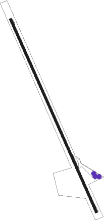
Runway info
| Runway 16 / 34 | ||
| length | 1489m (4885ft) | |
| bearing | 158° / 338° | |
| width | 18m (59ft) | |
| surface | asphalt | |
Nearby beacons
| code | identifier | dist | bearing | frequency |
|---|---|---|---|---|
| GFN | GRAFTON NDB | 39 | 143° | 389 |
| BNA | BALLINA NDB | 54.7 | 68° | 206 |
Disclaimer
The information on this website is not for real aviation. Use this data with the X-Plane flight simulator only! Data taken with kind consent from X-Plane 12 source code and data files. Content is subject to change without notice.