Cessnock
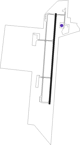
Airport details
| Country | Australia |
| State | New South Wales |
| Region | YB |
| Airspace | Brisbane Ctr |
| Municipality | Cessnock |
| Elevation | 211ft (64m) |
| Timezone | GMT +10 |
| Coordinates | -32.78081, 151.34233 |
| Magnetic var | |
| Type | land |
| Available since | X-Plane v10.40 |
| ICAO code | YCNK |
| IATA code | CES |
| FAA code | n/a |
Communication
| Cessnock Cessnock tower | 122.650 |
Nearby Points of Interest:
Greta railway station
-Rising Sun Inn
-Dalwood House
-Anambah House
-Cintra House, Maitland
-Maitland railway station
-St Mary's the Virgin Anglican Church
-Grossman House
-Brough House
-Maitland Synagogue
-Maitland Court House
-Barden and Ribee Saddlery
-Maitland Lodge of Unity Masonic Hall and Lodge
-Walka Water Works
-Maitland Town Hall
-Aberglasslyn
-Caroline Chisholm Cottage
-Smith's Flour Mill (former)
-East Maitland Post Office
-Goonoobah
-St James' Anglican Church, Morpeth
-Morpeth Bridge
-Tocal Homestead
-Hinton Bridge over Paterson River
-No. 131 Radar Station RAAF
Nearby beacons
| code | identifier | dist | bearing | frequency |
|---|---|---|---|---|
| WMD | WEST MAITLAND NDB | 9.7 | 82° | 224 |
| WLM | WILLIAMTOWN (NEWCASTLE) NDB | 24.6 | 93° | 365 |
| WLM | WILLIAMTOWN (NEWCASTLE) TACAN | 24.7 | 92° | 113.30 |
| SCO | SCONE NDB | 51.7 | 326° | 209 |
| RIC | RICHMOND NDB | 56.6 | 215° | 347 |
Disclaimer
The information on this website is not for real aviation. Use this data with the X-Plane flight simulator only! Data taken with kind consent from X-Plane 12 source code and data files. Content is subject to change without notice.