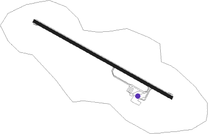
Mount Hotham - Mt Hotham
Airport details
| Country | Australia |
| State | Victoria |
| Region | YM |
| Airspace | Melbourne Ctr |
| Municipality | Alpine Shire |
| Elevation | 4258ft (1298m) |
| Timezone | GMT +10 |
| Coordinates | -37.04750, 147.33417 |
| Magnetic var | |
| Type | land |
| Available since | X-Plane v10.30 |
| ICAO code | YHOT |
| IATA code | MHU |
| FAA code | n/a |
Communication
| Mt Hotham Hotham AWIS | 128.050 |
| Mt Hotham Hotham Approach | 123.300 |
| Mt Hotham Hotham CTAF | 126.750 |
Nearby Points of Interest:
Bright railway station
Nearby beacons
| code | identifier | dist | bearing | frequency |
|---|---|---|---|---|
| AY | ALBURY VOR/DME | 61.4 | 339° | 115.60 |
Instrument approach procedures
| runway | airway (heading) | route (dist, bearing) |
|---|---|---|
| RW29-Z | HOZEA (282°) | HOZEA 7700ft HOZEI (5mi, 239°) 7700ft |
| RW29-Z | HOZEB (298°) | HOZEB 7700ft HOZEI (5mi, 298°) 7700ft |
| RW29-Z | HOZEC (316°) | HOZEC 7700ft HOZEI (5mi, 17°) 7700ft |
| RNAV | HOZEI 7700ft HOZEF (5mi, 298°) 6380ft HOZEM (5mi, 298°) 4663ft (7941mi, 284°) 5500ft HOZEH (7934mi, 104°) (7934mi, 284°) 7700ft |
Disclaimer
The information on this website is not for real aviation. Use this data with the X-Plane flight simulator only! Data taken with kind consent from X-Plane 12 source code and data files. Content is subject to change without notice.