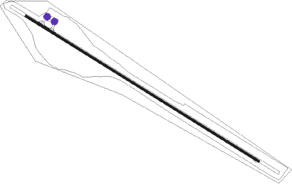
Kooralbyn
Airport details
| Country | Australia |
| State | Queensland |
| Region | YB |
| Airspace | Brisbane Ctr |
| Municipality | Scenic Rim Regional |
| Elevation | 307ft (94m) |
| Timezone | GMT +10 |
| Coordinates | -28.09000, 152.84084 |
| Magnetic var | |
| Type | land |
| Available since | X-Plane v10.40 |
| ICAO code | YKBN |
| IATA code | n/a |
| FAA code | n/a |
Communication
| Kooralbyn CTAF | 126.650 |
Nearby Points of Interest:
Boonah Post Office
-Boonah War Memorial
-Beaudesert War Memorial
-Nindooinbah Homestead
-Wyambyn
-Canning Downs
-Mount Barney National Park
-Lamington National Park
-Fassifern Homestead
-Cougal Spiral
-St John's Church, Mundoolun
-Lahey's Canungra Sawmill Complex
-Lahey's Canungra Tramway Tunnel
-Border Ranges National Park
-Binna Burra Cultural Landscape
-Normanby Homestead
-Tamborine Mountain Road
-Wilsons Peak Flora Reserve
-Main Range National Park
-Springbrook National Park
-Old Logan Village State School
-H2 Hinde Tree
-Springbrook State School
-St Patrick's Church, Rosevale
-Springbrook Road
Nearby beacons
| code | identifier | dist | bearing | frequency |
|---|---|---|---|---|
| BML | BROMELTON NDB | 8 | 26° | 374 |
| AMB | AMBERLEY TACAN | 27.7 | 344° | 108.10 |
| CG | GOLD COAST NDB | 35.2 | 96° | 278 |
| CG | GOLD COAST VOR/DME | 35.4 | 97° | 112.30 |
| BN | BRISBANE VOR/DME | 46.2 | 22° | 113.20 |
| BNA | BALLINA NDB | 58.7 | 136° | 206 |
Disclaimer
The information on this website is not for real aviation. Use this data with the X-Plane flight simulator only! Data taken with kind consent from X-Plane 12 source code and data files. Content is subject to change without notice.
