Kurray - Kurray Hs
Airport details
| Country | Australia |
| State | Queensland |
| Region | YB |
| Airspace | Brisbane Ctr |
| Municipality | Balonne Shire |
| Elevation | 634ft (193m) |
| Timezone | GMT +10 |
| Coordinates | -28.21993, 148.57574 |
| Magnetic var | |
| Type | land |
| Available since | X-Plane v10.40 |
| ICAO code | YKUY |
| IATA code | n/a |
| FAA code | n/a |
Communication
Nearby Points of Interest:
The Anchorage
-Bullamon Homestead
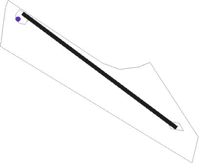
Runway info
| Runway 13 / 31 | ||
| length | 902m (2959ft) | |
| bearing | 127° / 307° | |
| width | 18m (59ft) | |
| surface | grass | |
Nearby beacons
| code | identifier | dist | bearing | frequency |
|---|---|---|---|---|
| SGE | SAINT GEORGE NDB | 10.4 | 7° | 383 |
Disclaimer
The information on this website is not for real aviation. Use this data with the X-Plane flight simulator only! Data taken with kind consent from X-Plane 12 source code and data files. Content is subject to change without notice.