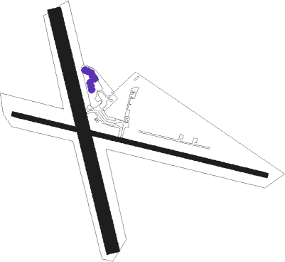
Lethbridge
Airport details
| Country | Australia |
| State | Victoria |
| Region | YM |
| Airspace | Melbourne Ctr |
| Municipality | Lethbridge |
| Elevation | 787ft (240m) |
| Timezone | GMT +11 |
| Coordinates | -37.92081, 144.10161 |
| Magnetic var | |
| Type | land |
| Available since | X-Plane v10.40 |
| ICAO code | YLED |
| IATA code | n/a |
| FAA code | n/a |
Communication
| Lethbridge CTAF | 127.650 |
Nearby Points of Interest:
Lethbridge railway station
-Meredith railway station
-Moorabool railway station
-CFA Training College
-Osborne House
-Geelong Town Hall
-Geelong Post Office building
-Geelong Customs House
-Buninyong Town Hall
-Reedy Lake
-Ballarat East Fire Station
-Ballarat Synagogue
-Melton Viaduct
-Post Office Gallery
-Huyghue House
-Ballarat City Fire Station
-Baker House
-Pitfield Bridge
-Glenmona Bridge
-Bells Beach
-Lake Beeac
-Barwon Heads Bridge
-Victorian School of Forestry
-Swan Bay

Nearby beacons
| code | identifier | dist | bearing | frequency |
|---|---|---|---|---|
| AV | AVALON VOR/DME | 18.5 | 110° | 116.10 |
| ML | MELBOURNE VOR/DME | 38.4 | 71° | 114.10 |
| MB | MOORABBIN (MELBOURNE) NDB | 46.9 | 93° | 398 |
Disclaimer
The information on this website is not for real aviation. Use this data with the X-Plane flight simulator only! Data taken with kind consent from X-Plane 12 source code and data files. Content is subject to change without notice.