Millaroo
Airport details
| Country | Australia |
| State | Queensland |
| Region | YB |
| Airspace | Brisbane Ctr |
| Municipality | Burdekin Shire |
| Elevation | 147ft (45m) |
| Timezone | GMT +10 |
| Coordinates | -20.01053, 147.24487 |
| Magnetic var | |
| Type | land |
| Available since | X-Plane v10.40 |
| ICAO code | YMLO |
| IATA code | n/a |
| FAA code | n/a |
Communication
Nearby Points of Interest:
Ravenswood Ambulance Station
-London North Mine
-Mabel Mill
-Ravenswood Mining Landscape and Chinese Settlement Area
-Radar Station, Charlie's Hill
-Home Hill Powerhouse
-Ayr Court House
-St Patrick's Catholic Church, Brandon
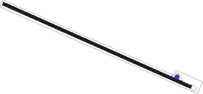
Runway info
| Runway 11 / 29 | ||
| length | 912m (2992ft) | |
| bearing | 117° / 297° | |
| width | 14m (46ft) | |
| surface | dirt | |
Nearby beacons
| code | identifier | dist | bearing | frequency |
|---|---|---|---|---|
| TVL | TOWNSVILLE TACAN | 52.3 | 326° | 113.50 |
| TVL | TOWNSVILLE NDB | 53.3 | 328° | 276 |
| TL | TOWNSVILLE VOR/DME | 53.6 | 328° | 114.10 |
Disclaimer
The information on this website is not for real aviation. Use this data with the X-Plane flight simulator only! Data taken with kind consent from X-Plane 12 source code and data files. Content is subject to change without notice.