Maneroo
Airport details
| Country | Australia |
| State | Queensland |
| Region | YB |
| Airspace | Brisbane Ctr |
| Municipality | Longreach |
| Elevation | 624ft (190m) |
| Timezone | GMT +10 |
| Coordinates | -23.37190, 143.89047 |
| Magnetic var | |
| Type | land |
| Available since | X-Plane v10.40 |
| ICAO code | YMNO |
| IATA code | n/a |
| FAA code | n/a |
Communication
Nearby Points of Interest:
Qantas Hangar, Longreach
-Beaconsfield Station Sheep Wash
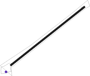
Runway info
| Runway 5 / 23 | ||
| length | 934m (3064ft) | |
| bearing | 59° / 239° | |
| width | 18m (59ft) | |
| surface | dirt | |
Nearby beacons
| code | identifier | dist | bearing | frequency |
|---|---|---|---|---|
| LRE | LONGREACH NDB | 22.2 | 98° | 353 |
Disclaimer
The information on this website is not for real aviation. Use this data with the X-Plane flight simulator only! Data taken with kind consent from X-Plane 12 source code and data files. Content is subject to change without notice.