Cocos (keeling) Islands - Cocos Keeling Island
Airport details
| Country | Australia |
| State | [Other] |
| Region | YM |
| Airspace | Melbourne Ctr |
| Municipality | Shire of Cocos (Keeling) Islands |
| Elevation | 5ft (2m) |
| Timezone | GMT +6.5 |
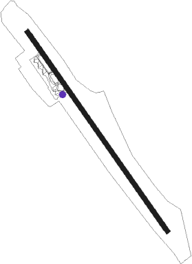
| Coordinates | -12.18861, 96.83056 |
| Magnetic var | |
| Type | land |
| Available since | X-Plane v10.40 |
| ICAO code | YPCC |
| IATA code | CCK |
| FAA code | n/a |
Communication
| Cocos Keeling Island CTAF | 118.100 |
Nearby Points of Interest:
Pulu Keeling National Park
Nearby beacons
| code | identifier | dist | bearing | frequency |
|---|---|---|---|---|
| CC | COCOS (KEELING) IS VOR/DME | 0.9 | 139° | 114.10 |
| CIL | COCOS (KEELING) IS NDB | 1.2 | 332° | 388 |
Instrument approach procedures
| runway | airway (heading) | route (dist, bearing) |
|---|---|---|
| RW15-Z | PCCND (128°) | PCCND 1700ft PCCNI (5mi, 79°) 1700ft |
| RW15-Z | PCCNE (149°) | PCCNE 1700ft PCCNI (5mi, 149°) 1700ft |
| RW15-Z | PCCNG (171°) | PCCNG 1700ft PCCNI (5mi, 220°) 1700ft |
| RNAV | PCCNI 1700ft PCCNF (5mi, 149°) 1650ft PCCNM (5mi, 149°) 55ft PCCNH (3mi, 149°) (5807mi, 277°) 1500ft | |
| RW33-Z | PCCSA (308°) | PCCSA 1700ft PCCSI (5mi, 259°) 1700ft |
| RW33-Z | PCCSB (329°) | PCCSB 1700ft PCCSI (5mi, 329°) 1700ft |
| RW33-Z | PCCSC (349°) | PCCSC 1700ft PCCSI (5mi, 40°) 1700ft |
| RNAV | PCCSI 1700ft PCCSF (5mi, 329°) 1650ft PCCSM (5mi, 329°) 58ft PCCSH (3mi, 329°) (5805mi, 277°) 1500ft |
Disclaimer
The information on this website is not for real aviation. Use this data with the X-Plane flight simulator only! Data taken with kind consent from X-Plane 12 source code and data files. Content is subject to change without notice.