Southbrook
Airport details
| Country | Australia |
| State | Queensland |
| Region | YB |
| Airspace | Brisbane Ctr |
| Municipality | Toowoomba Regional |
| Elevation | 1752ft (534m) |
| Timezone | GMT +10 |
| Coordinates | -27.67034, 151.73106 |
| Magnetic var | |
| Type | land |
| Available since | X-Plane v10.40 |
| ICAO code | YSOB |
| IATA code | n/a |
| FAA code | n/a |
Communication
| Southbrook CTAF | 128.800 |
Nearby Points of Interest:
Westbrook Homestead
-Pittsworth Shire Council Chambers and Shire Hall
-Westbrook War Memorial
-Eton Vale Homestead Ruins
-O'Shea's Drayton Cottage
-St Matthew's Anglican Church, Drayton
-Greenmount War Memorial
-Smithfield House
-Concordia College Administration Centre
-Tor, Toowoomba
-Weetwood, Toowoomba
-Ascot House
-Gabbinbar homestead
-Cottage
-Toowoomba Hospital
-Elphin, Newtown
-Oak Lodge and Spreydon
-Kensington, Toowoomba
-Toowoomba South State School
-Clifford House, Toowoomba
-Vacy Hall
-Toowoomba City Hall
-Soldiers Memorial Hall
-Wislet
-St Luke's Church Hall
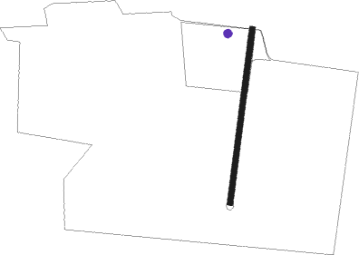
Runway info
| Runway 1 / 19 | ||
| length | 467m (1532ft) | |
| bearing | 13° / 193° | |
| width | 15m (49ft) | |
| surface | dirt | |
Nearby beacons
| code | identifier | dist | bearing | frequency |
|---|---|---|---|---|
| OK | OAKEY NDB | 14.9 | 1° | 254 |
| OK | OAKEY VOR/DME | 16.2 | 1° | 112.90 |
| AMB | AMBERLEY TACAN | 52.4 | 88° | 108.10 |
Disclaimer
The information on this website is not for real aviation. Use this data with the X-Plane flight simulator only! Data taken with kind consent from X-Plane 12 source code and data files. Content is subject to change without notice.