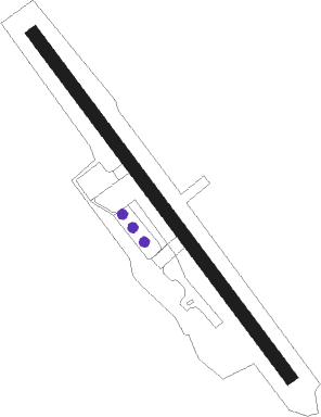
Troughton Island
Airport details
| Country | Australia |
| State | Western Australia |
| Region | YB |
| Airspace | Brisbane Ctr |
| Municipality | Shire Of Wyndham-East Kimberley |
| Elevation | 24ft (7m) |
| Timezone | GMT +8 |
| Coordinates | -13.75229, 126.14812 |
| Magnetic var | |
| Type | land |
| Available since | X-Plane v10.40 |
| ICAO code | YTTI |
| IATA code | n/a |
| FAA code | n/a |
Communication
| Troughton Island CTAF | 128.000 |
Instrument approach procedures
| runway | airway (heading) | route (dist, bearing) |
|---|---|---|
| RWNVN | TTIND (126°) | TTIND 1500ft TTINI (4mi, 78°) 1500ft |
| RWNVN | TTINE (147°) | TTINE 1500ft TTINI (4mi, 147°) 1500ft |
| RWNVN | TTING (168°) | TTING 1500ft TTINI (4mi, 218°) 1500ft |
| RNAV | TTINI 1500ft TTINF (4mi, 147°) 1430ft TTINM (4mi, 147°) 163ft TTINH (2mi, 147°) (7505mi, 276°) 1800ft | |
| RWNVS | TTISA (348°) | TTISA 1800ft TTISI (4mi, 38°) 1800ft |
| RWNVS | TTISB (327°) | TTISB 1800ft TTISI (4mi, 327°) 1800ft |
| RWNVS | TTISC (306°) | TTISC 1800ft TTISI (4mi, 258°) 1800ft |
| RNAV | TTISI 1800ft TTISF (4mi, 327°) 1430ft TTISM (4mi, 327°) 163ft TTISH (2mi, 327°) (7504mi, 276°) 1800ft |
Disclaimer
The information on this website is not for real aviation. Use this data with the X-Plane flight simulator only! Data taken with kind consent from X-Plane 12 source code and data files. Content is subject to change without notice.