Wahring - Wahring Field
Airport details
| Country | Australia |
| State | Victoria |
| Region | YM |
| Airspace | Melbourne Ctr |
| Municipality | Shire of Strathbogie |
| Elevation | 407ft (124m) |
| Timezone | GMT +11 |
| Coordinates | -36.68000, 145.24333 |
| Magnetic var | |
| Type | land |
| Available since | X-Plane v10.40 |
| ICAO code | YWHG |
| IATA code | n/a |
| FAA code | n/a |
Communication
| Wahring Field CTAF | 121.100 |
Nearby Points of Interest:
Italian National Ossario
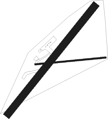
Runway info
Runway 03 / 21  | ||
| length | 1285m (4216ft) | |
| bearing | 50° / 230° | |
| width | 70m (230ft) | |
| surface | grass | |
| Runway 09 / 27 | ||
| length | 660m (2165ft) | |
| bearing | 89° / 269° | |
| width | 15m (49ft) | |
| surface | grass | |
Nearby beacons
| code | identifier | dist | bearing | frequency |
|---|---|---|---|---|
| MNG | MANGALORE VOR | 12.5 | 193° | 113.20 |
| SHT | SHEPPARTON NDB | 16.8 | 31° | 212 |
| ML | MELBOURNE VOR/DME | 61.9 | 202° | 114.10 |
Disclaimer
The information on this website is not for real aviation. Use this data with the X-Plane flight simulator only! Data taken with kind consent from X-Plane 12 source code and data files. Content is subject to change without notice.