Alxa Right Banner Badanjilin
Airport details
| Country | China |
| State | Inner Mongolia |
| Region | |
| Airspace | Lanzhou Ctr |
| Municipality | Alatengchaoge |
| Elevation | 4658ft (1420m) |
| Timezone | GMT +8 |
| Coordinates | 39.23265, 101.53918 |
| Magnetic var | |
| Type | land |
| Available since | X-Plane v10.32 |
| ICAO code | ZBAR |
| IATA code | n/a |
| FAA code | n/a |
Communication
Runway info
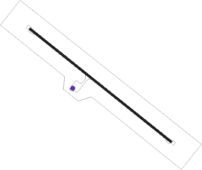
| Runway 14 / 32 | ||
| length | 2405m (7890ft) | |
| bearing | 126° / 306° | |
| width | 30m (98ft) | |
| surface | concrete | |
Disclaimer
The information on this website is not for real aviation. Use this data with the X-Plane flight simulator only! Data taken with kind consent from X-Plane 12 source code and data files. Content is subject to change without notice.