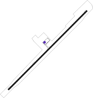
Ninglang - Ninglang Luguhu
Airport details
| Country | China |
| State | Yunnan |
| Region | ZP |
| Airspace | Kunming Ctr |
| Municipality | Lijiang City |
| Elevation | 10803ft (3293m) |
| Timezone | GMT +8 |
| Coordinates | 27.54028, 100.75945 |
| Magnetic var | |
| Type | land |
| Available since | X-Plane v10.40 |
| ICAO code | ZPNL |
| IATA code | NLH |
| FAA code | n/a |
Communication
| Ninglang Luguhu Luguhu Tower | 123.625 |
Nearby beacons
| code | identifier | dist | bearing | frequency |
|---|---|---|---|---|
| CEH | CHENGHAI VOR/DME | 52.6 | 183° | 113.40 |
| LJA | LIJIANG VOR/DME | 52.8 | 212° | 113.70 |
Disclaimer
The information on this website is not for real aviation. Use this data with the X-Plane flight simulator only! Data taken with kind consent from X-Plane 12 source code and data files. Content is subject to change without notice.