Luxor
Airport details
| Country | Egypt |
| State | Luxor |
| Region | HE |
| Airspace | Cairo Ctr |
| Municipality | Monsha'et Al Amary |
| Elevation | 292ft (89m) |
| Timezone | GMT +2 |
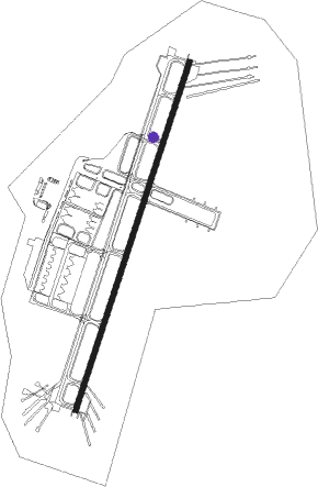
| Coordinates | 25.67083, 32.70639 |
| Magnetic var | |
| Type | land |
| Available since | X-Plane v10.40 |
| ICAO code | HELX |
| IATA code | LXR |
| FAA code | n/a |
Communication
| Luxor Ground Control | 121.900 |
| Luxor Tower | 118.100 |
| Luxor Tower | 119.900 |
| Luxor RADAR | 124.300 |
| Luxor RADAR | 118.100 |
Approach frequencies
| ILS-cat-I | RW02 | 108.5 | 18.00mi |
| ILS-cat-I | RW20 | 111.1 | 18.00mi |
| 3° GS | RW02 | 108.5 | 18.00mi |
| 3° GS | RW20 | 111.1 | 18.00mi |
Nearby Points of Interest:
Theban Necropolis
-El-Khokha
Nearby beacons
| code | identifier | dist | bearing | frequency |
|---|---|---|---|---|
| LXR | LUXOR VOR/DME | 5.7 | 38° | 114.40 |
| SHG | SUHAG VOR/DME | 67 | 305° | 115.30 |
Instrument approach procedures
| runway | airway (heading) | route (dist, bearing) |
|---|---|---|
| RW02 | LX600 (63°) | LX600 LX603 (10mi, 111°) 3500ft |
| RW02 | LX601 (25°) | LX601 LX603 (8mi, 25°) 3500ft |
| RW02 | LX602 (349°) | LX602 LX603 (8mi, 291°) 3500ft |
| RNAV | LX603 3500ft LX604 (5mi, 25°) 2500ft HELX (8mi, 25°) 344ft LX605 (6mi, 25°) 1600ft LX606 (10mi, 291°) 3100ft LX600 (19mi, 205°) LX600 (turn) | |
| RW20 | LX811 (159°) | LX811 LX814 (10mi, 111°) 3000ft |
| RW20 | LX812 (205°) | LX812 4500ft LX814 (7mi, 205°) 3000ft |
| RW20 | LX813 (239°) | LX813 4500ft LX814 (7mi, 291°) 3000ft |
| RNAV | LX814 3000ft LX815 (5mi, 205°) 2000ft HELX (6mi, 205°) 322ft LX816 (7mi, 205°) 1700ft LX817 (10mi, 291°) 3200ft LX811 (18mi, 25°) LX811 (turn) |
Disclaimer
The information on this website is not for real aviation. Use this data with the X-Plane flight simulator only! Data taken with kind consent from X-Plane 12 source code and data files. Content is subject to change without notice.