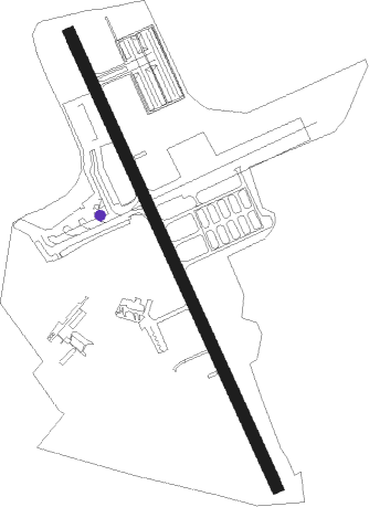
Haifa
Airport details
| Country | Israel |
| State | Haifa District |
| Region | LL |
| Airspace | Tel Aviv Ctr |
| Municipality | Haifa |
| Elevation | 23ft (7m) |
| Timezone | GMT +2 |
| Coordinates | 32.81329, 35.04156 |
| Magnetic var | |
| Type | land |
| Available since | X-Plane v10.40 |
| ICAO code | LLHA |
| IATA code | HFA |
| FAA code | n/a |
Communication
| Haifa Ground Control | 127.800 |
| Haifa Tower | 133.000 |
Nearby Points of Interest:
Neve Sha'anan water tower
-Bahá'í World Centre buildings
-Suk al-Abjad
-Acre
-Nahalal Police Station
-Nahal Me'arot Nature Reserve
-Wilfrid Israel Museum
-Beit Liberman
-Ramat David Airbase
-Ma'alul
-The Museum of Pioneer Settlement
-Palmach Cave
-Megiddo Airport
-Rosh Hanikra train tunnels
-Kfar Yeladim
-Mahane Israel
-The Large Yard at Merhavia
-Beit HaRishonim, Migdal
-Villa Melchett
-Beit Hameiri
-Safed Old City
-Bet Busel
Nearby beacons
| code | identifier | dist | bearing | frequency |
|---|---|---|---|---|
| RMD | RAMAT DAVID NDB | 11.3 | 136° | 368 |
| ROP | ROSH-PINA VOR/DME | 28.6 | 72° | 115.30 |
| NAT | NATANIA VOR/DME | 29 | 189° | 112.40 |
| BGN | BEN GURION (TEL AVIV) VOR/DME | 48.7 | 192° | 113.50 |
| BAR | BAYSUR VOR | 62.9 | 28° | 113.90 |
| KAD | KALDE VOR/DME | 63.7 | 24° | 112.60 |
Departure and arrival routes
| Transition altitude | 10500ft |
| Transition level | 11500ft |
| STAR starting points | distance | inbound heading | |
|---|---|---|---|
| ALL | |||
| GALI1A, GALI1B | 25.1 | 86° | |
Holding patterns
| STAR name | hold at | type | turn | heading* | altitude | leg | speed limit |
|---|---|---|---|---|---|---|---|
| GALI1A | ZAHAV | VHF | left | 257 (77)° | 3000ft - 5000ft | 1.0min timed | 230 |
| GALI1B | ZAHAV | VHF | left | 257 (77)° | 3000ft - 5000ft | 1.0min timed | 230 |
| *) magnetic outbound (inbound) holding course | |||||||
Disclaimer
The information on this website is not for real aviation. Use this data with the X-Plane flight simulator only! Data taken with kind consent from X-Plane 12 source code and data files. Content is subject to change without notice.