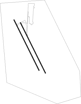
Ar Rayyan - Al Udeid Ab
Airport details
| Country | Qatar |
| State | Al Rayyan |
| Region | OT |
| Airspace | Bahrain Ctr |
| Elevation | 127ft (39m) |
| Timezone | GMT +3 |
| Coordinates | 25.11732, 51.31499 |
| Magnetic var | |
| Type | land |
| Available since | X-Plane v10.30 |
| ICAO code | OTBH |
| IATA code | XJD |
| FAA code | n/a |
Communication
| Al Udeid AB ATIS | 123.750 |
| Al Udeid AB Ground Control | 135.500 |
| Al Udeid AB DOHA INFO | 126.450 |
| Al Udeid AB Tower | 125.500 |
Approach frequencies
| ILS-cat-I | RW16R | 108.3 | 18.00mi |
| ILS-cat-I | RW34R | 111.3 | 18.00mi |
| ILS-cat-I | RW16L | 110.55 | 18.00mi |
| ILS-cat-I | RW34L | 111.1 | 18.00mi |
| 3° GS | RW16R | 108.3 | 18.00mi |
| 3° GS | RW34R | 111.3 | 18.00mi |
| 3° GS | RW16L | 110.55 | 18.00mi |
| 3° GS | RW34L | 111.1 | 18.00mi |
Nearby beacons
| code | identifier | dist | bearing | frequency |
|---|---|---|---|---|
| ALD | AL UDEID VORTAC | 1.5 | 156° | 115.20 |
| DIA | DOHA INTL VOR/DME | 15.8 | 66° | 112.40 |
| WK | DOHA INTL NDB | 15.9 | 77° | 323 |
| DOH | DOHA/HAMAD INTL VOR/DME | 17.8 | 66° | 114.40 |
| BAT | BATHA VOR/DME | 54.6 | 171° | 113.40 |
| SI | ISA AB (BAHRAIN) NDB | 60.5 | 318° | 343 |
| SIA | ISA AB (BAHRAIN) VORTAC | 62.2 | 318° | 117.60 |
Departure and arrival routes
| Transition altitude | 13000ft |
| Transition level | 15000ft |
| SID end points | distance | outbound heading | |
|---|---|---|---|
| RW34L | |||
| KIRAX1 | 23mi | 142° | |
| RW34R | |||
| KIRAX1 | 23mi | 142° | |
Instrument approach procedures
| runway | airway (heading) | route (dist, bearing) |
|---|---|---|
| RW16L | ITOLA (156°) | ITOLA 3000ft |
| RNAV | ITOLA 3000ft DANID (10mi, 156°) 1800ft OTBH (6mi, 156°) 207ft (3335mi, 244°) 532ft MENTA (3336mi, 64°) 3000ft MENTA (turn) 8000ft | |
| RW34R | MENTA (336°) | MENTA 3000ft |
| RNAV | MENTA 3000ft DATEM (11mi, 336°) 1800ft SITOM (4mi, 336°) 395ft (3335mi, 244°) 480ft ITOLA (3334mi, 64°) 3000ft ITOLA (turn) 8000ft |
Disclaimer
The information on this website is not for real aviation. Use this data with the X-Plane flight simulator only! Data taken with kind consent from X-Plane 12 source code and data files. Content is subject to change without notice.

