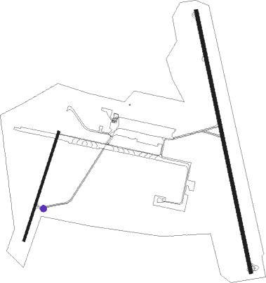
Dakar - Dakar Leopold Sedar Senghor Intl
Airport details
| Country | Senegal |
| State | Dakar Region |
| Region | GO |
| Airspace | Dakar Ctr |
| Municipality | Dakar |
| Elevation | 84ft (26m) |
| Timezone | GMT +0 |
| Coordinates | 14.74389, -17.47944 |
| Magnetic var | |
| Type | land |
| Available since | X-Plane v10.40 |
| ICAO code | GOOY |
| IATA code | DKR |
| FAA code | n/a |
Communication
| Dakar Leopold Sedar Senghor Intl DAKAR Tower | 118.100 |
| Dakar Leopold Sedar Senghor Intl DAKAR INFO | 129.500 |
| Dakar Leopold Sedar Senghor Intl DAKAR INFO | 127.300 |
| Dakar Leopold Sedar Senghor Intl DAKAR CON | 120.500 |
| Dakar Leopold Sedar Senghor Intl DAKAR CON | 118.100 |
Nearby beacons
| code | identifier | dist | bearing | frequency |
|---|---|---|---|---|
| SDS | DAKAR NDB | 1.6 | 188° | 323 |
| DS | DAKAR-DIASS VOR/DME | 24.3 | 104° | 115.40 |
Instrument approach procedures
| runway | airway (heading) | route (dist, bearing) |
|---|---|---|
| RW18 | DESAX (197°) | DESAX 2100ft TASUT (5mi, 263°) 2100ft |
| RW18 | GUTAR (147°) | GUTAR 2100ft TASUT (5mi, 83°) 2100ft |
| RW18 | TASUT (172°) | TASUT 2100ft |
| RNAV | TASUT 2100ft OY501 (4mi, 172°) 2100ft GOOY (7mi, 172°) 141ft OY502 (4mi, 172°) GUTAR (16mi, 334°) 2100ft | |
| RW36 | KODUS (15°) | KODUS 2100ft SIBIG (5mi, 83°) 2100ft |
| RNAV | SIBIG 2100ft OY503 (5mi, 352°) 2100ft GOOY (7mi, 352°) 125ft OY504 (4mi, 352°) KODUS (17mi, 190°) 2100ft |
Disclaimer
The information on this website is not for real aviation. Use this data with the X-Plane flight simulator only! Data taken with kind consent from X-Plane 12 source code and data files. Content is subject to change without notice.

